Spatial Analysis of Bank Branch Closures
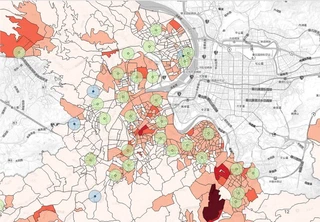
Context. Cathay Life Insurance, Loan Appraisal Department (Data Analyst Intern).
Question. As branch networks shrink, which neighbourhood characteristics are associated with a branch being closed rather than kept?
Approach.
- Built multi-scale buffers (300 m to 2,500 m) around each branch and attached public data on demographics, income, industry structure, housing market and competing financial service density.
- Compared closed and retained branches variable by variable, using normality tests followed by t-tests or Mann-Whitney U tests.
- Designed the workflow as a reusable framework that can be applied to other banks and cities.
My role. Designed the spatial pipeline, built the geospatial dataset and ran the statistical comparisons.
Based on public data only; internal data and results are not shown.

I am 梁貴評 (Gui-Ping Liang), a master’s student in National Development at National Taiwan University. My research asks how political language and attitudes can be measured: how to turn what firms and legislators say and do about China into numbers that can be compared.
Two current papers show this. One uses language models to measure state discourse in Chinese corporate reports. The other asks why European legislators break from their party group on China-related votes. I am also interested in how people in Taiwan perceive China.
My training is in finance and economics. Working as a research and teaching assistant in text mining and GIS taught me to build analyses that others can reproduce, and my internships in banking and real estate valuation showed me how much a conclusion depends on how something is measured.